Tuesday, July 4.
7.00am start and 10.45pm finish, but what a day. We have covered 750kms return today, and after yesterday we wondered if it could get any better. Well I have to tel everyone it was truelly unbelievable.😳😳
Here’s how the day panned out. On the map below, we started at Reykjavik, the black dot on the bottom left and travelled across the bottom of Iceland to the middle of the big white shape, which I will explain later.
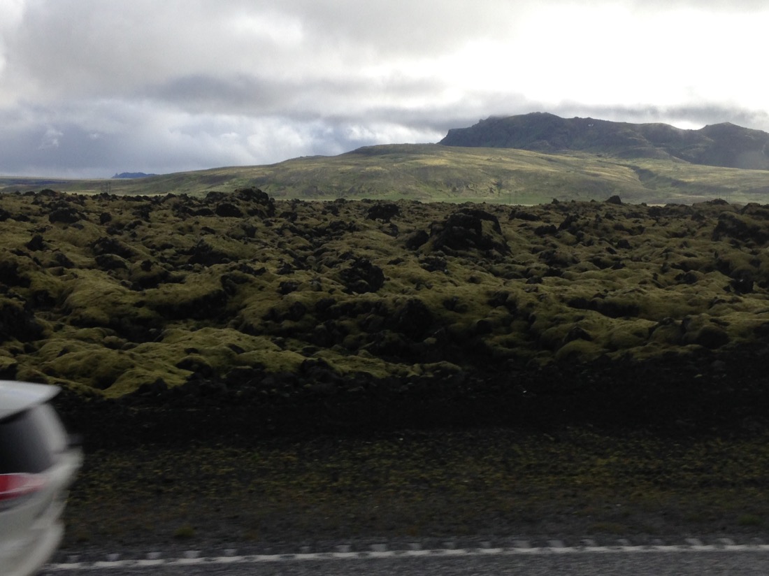
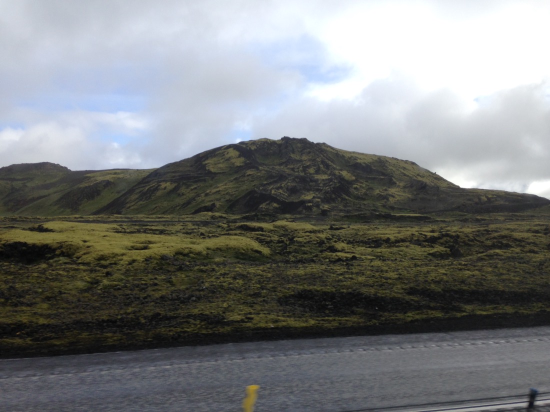
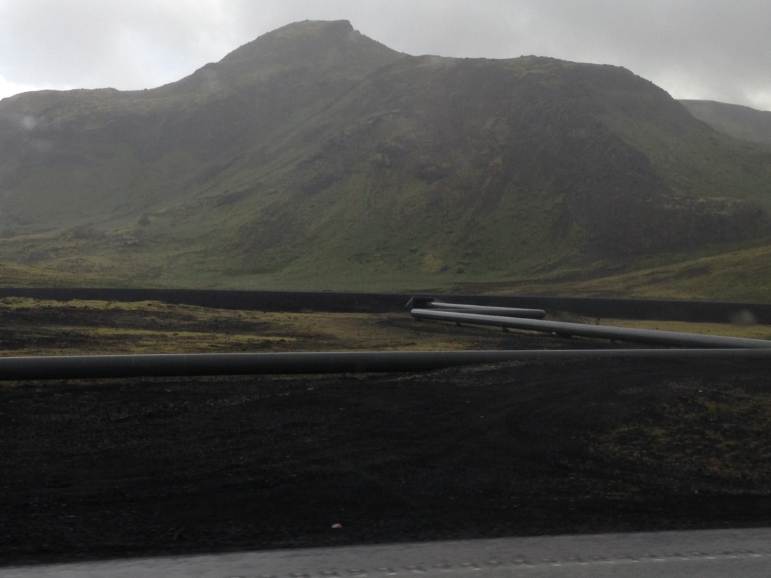
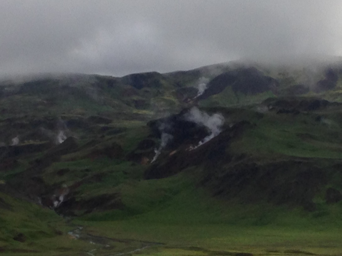
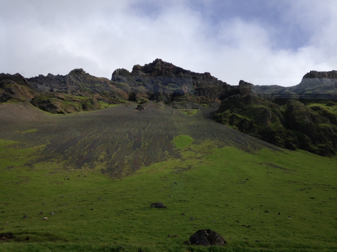
The landscape today is all volcanic, with geothermal activity everywhere.
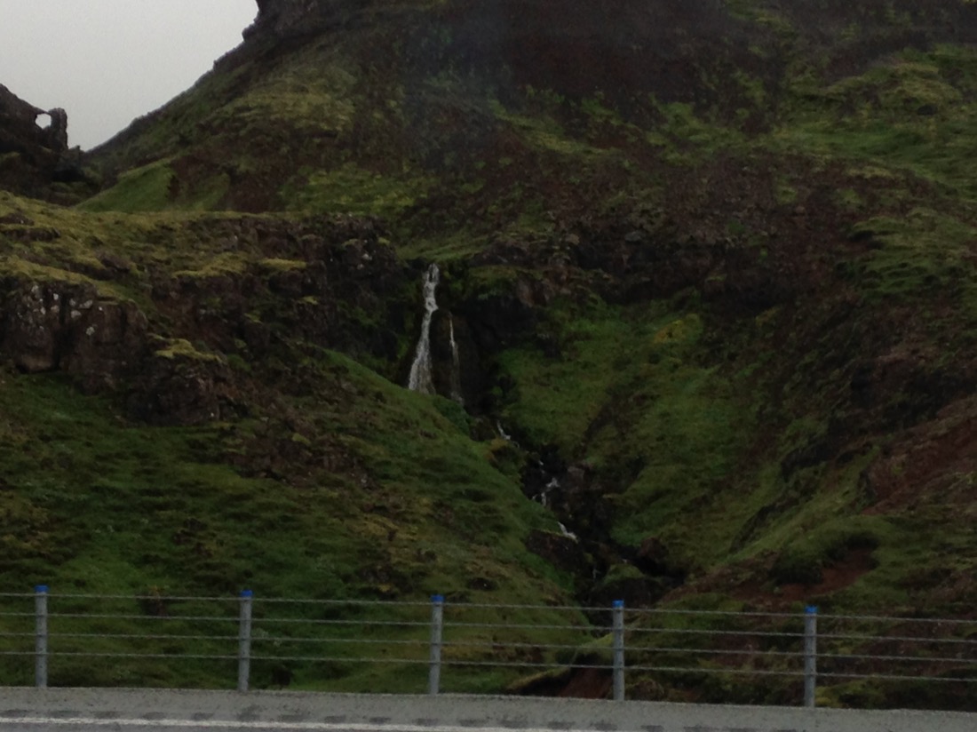
One of the many hot waterfalls along the way.
Geothermal activity on the slopes.
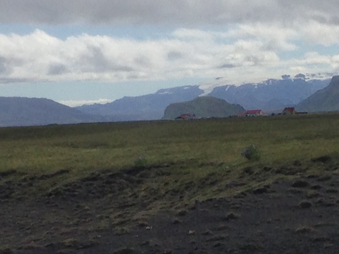
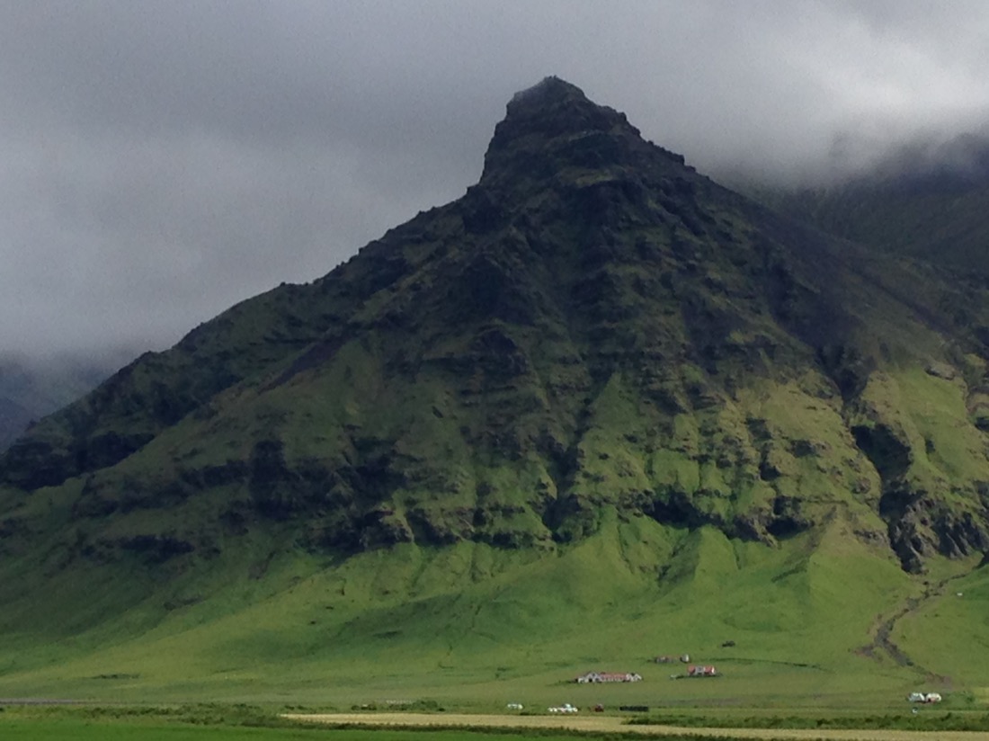
Typical farm buildings.

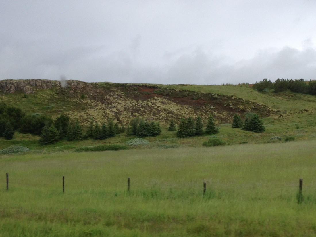
Not many trees anywhere in Iceland. It used to be about 30% of the country was forest, but they were all cut down many years ago for building and heating. All of the trees now are introduced, mainly from Canada, being Birch, Aspen and Spruce. Today about 1% of the country is forest.
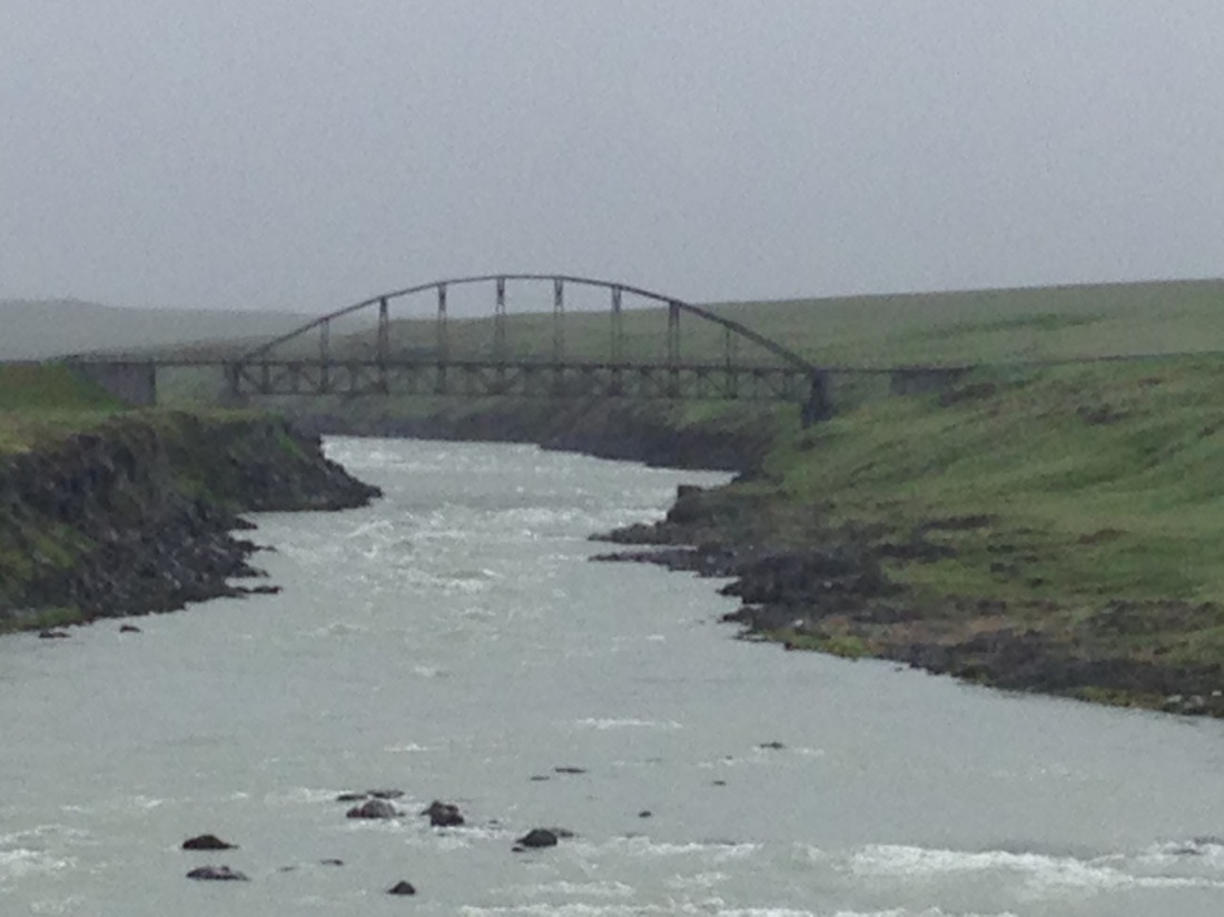
One of the many glacial rivers, flowing into the Atlantic, we crossed to
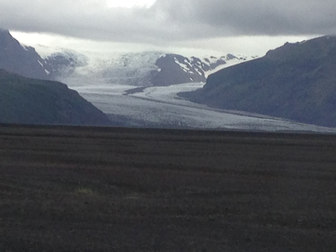
That white stuff on the mountains is not snow, it’s a glacier.

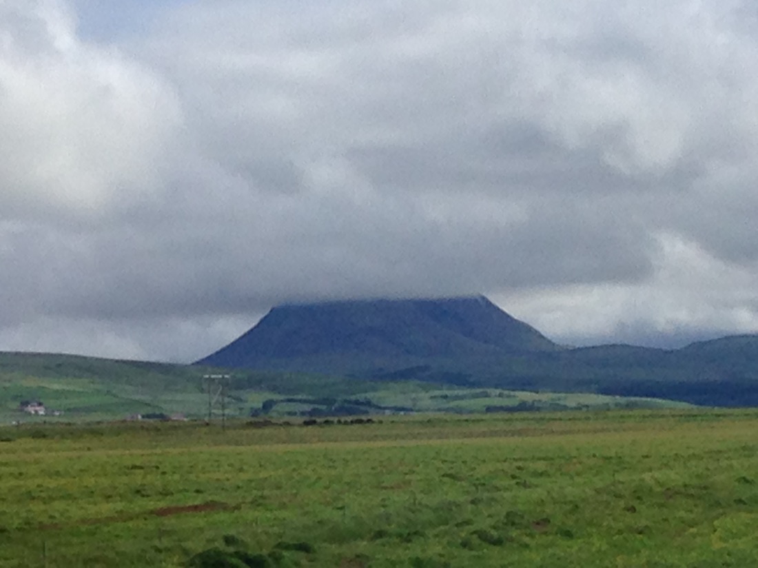
Yep, a volcano with a ring of confidence.

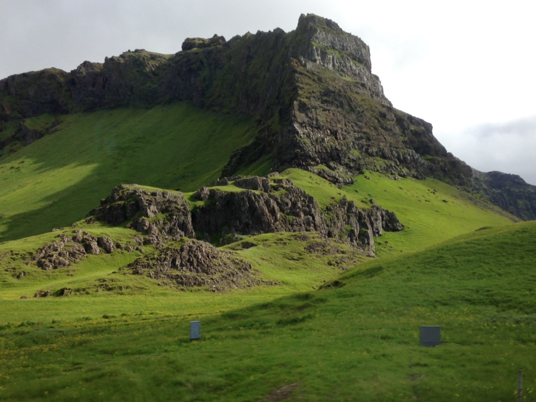
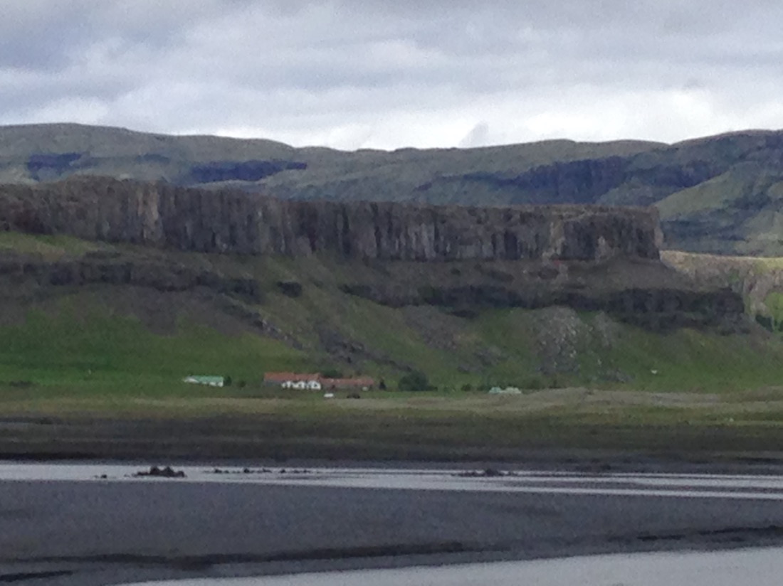
Basalt Cliffs being eroded.


They love red and white paint.

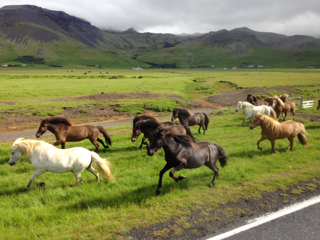
The famous Icelandic pony, which is actually a horse.

More of those basalt Cliffs.


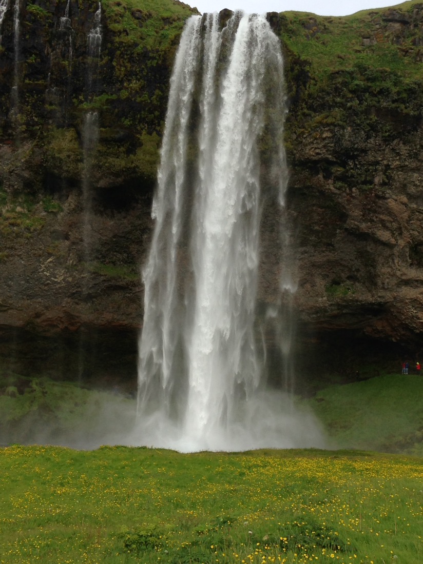
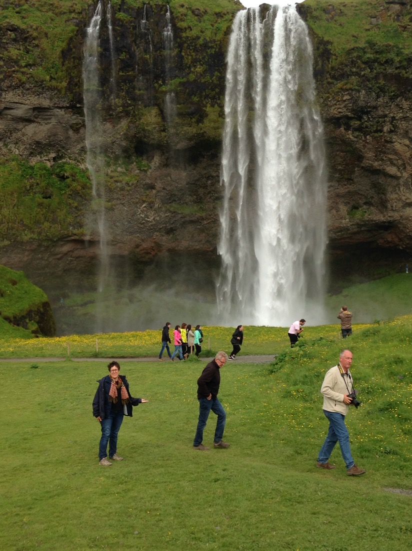
First stop was the Skogafoss Falls, at some 280 metres. Very impressive.
Happy little vegemites.

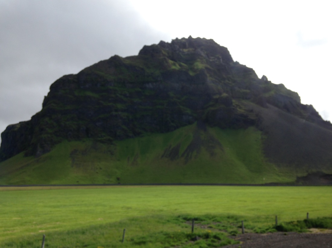
 Leaving the falls we travelled further south towards the Jokulsarlon Glacial Lagoon. Along the way we passed many more impressive basalt landforms, rich farming country, due to the highly nutrient volcanic ash which is deposited on a regular basis. The last being in 2010, when Mt Eyjafjallajokull erupted causing havoc not only for the locals, but also air traffic right across Europe.
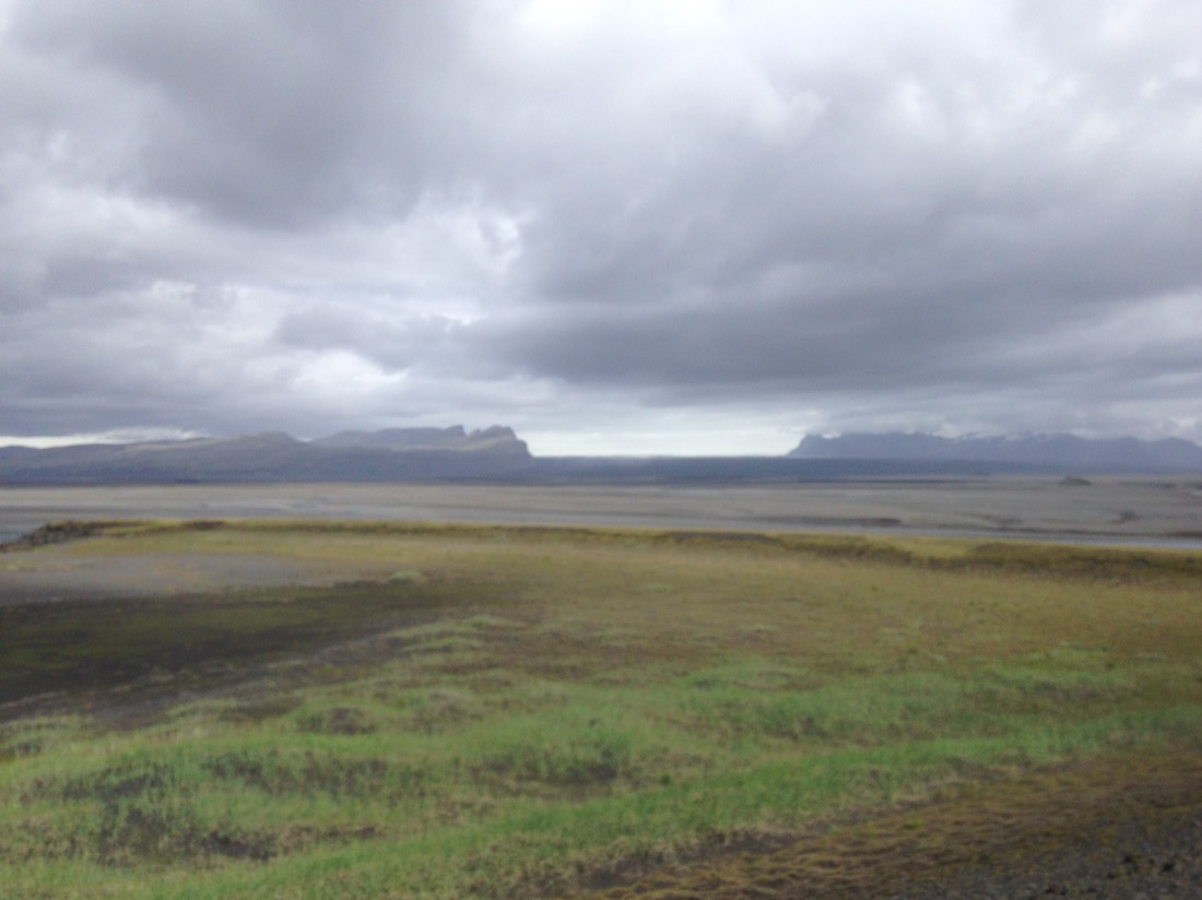
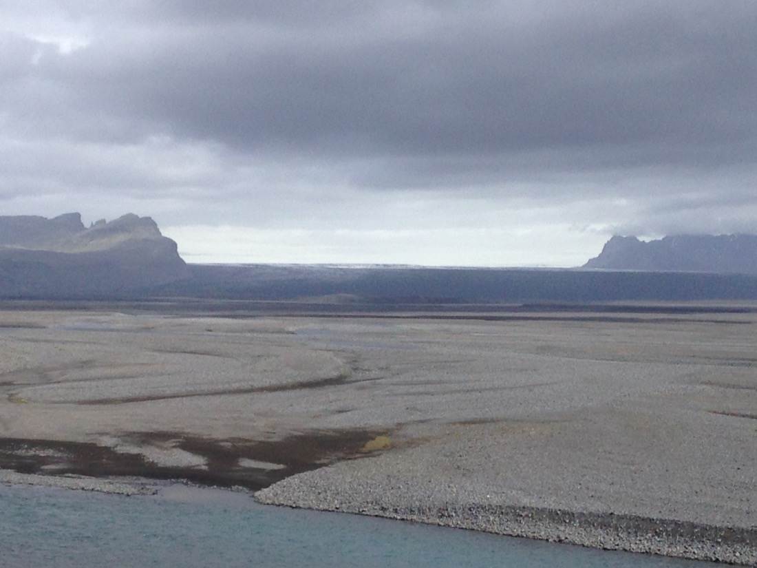
Further on we came across this open area between the Cliffs and the Atlantic Ocean. This stretched for miles, and took about 2 hours to cross. This area is uninhabited for one reason.
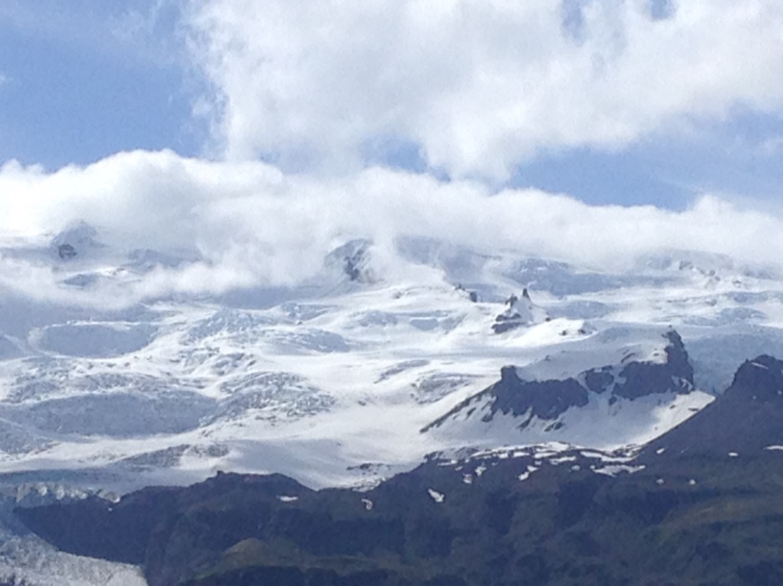
Remember the map with the big white area on it. That white area, 1/8 of the total land mass, is the largest glacier in Europe, covering some 14,000 sq Kim’s, roughly 10 times the area of London, and over 1km thick at it deepest point. When there is a big melt, more water flows out of the glacier than flows down the Amazon in a year.

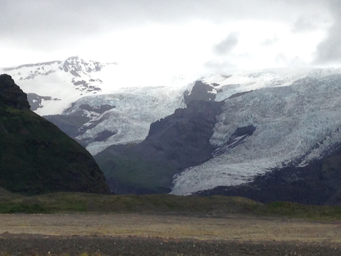
The gap in the following photos is one of the tongues of the glacier. Hope you are sitting down, it is over 25kms across.😳😳

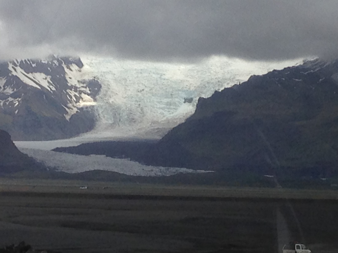
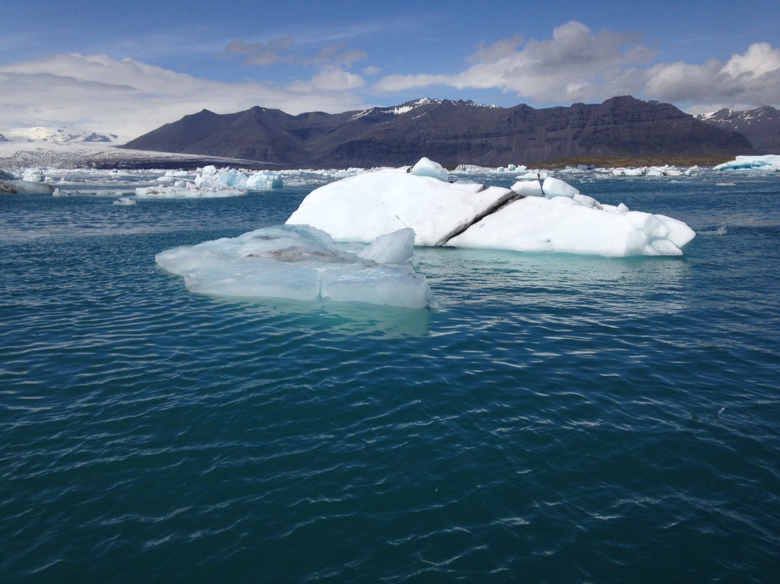
More shots of other tongues of the glacier. Pretty spectacular.


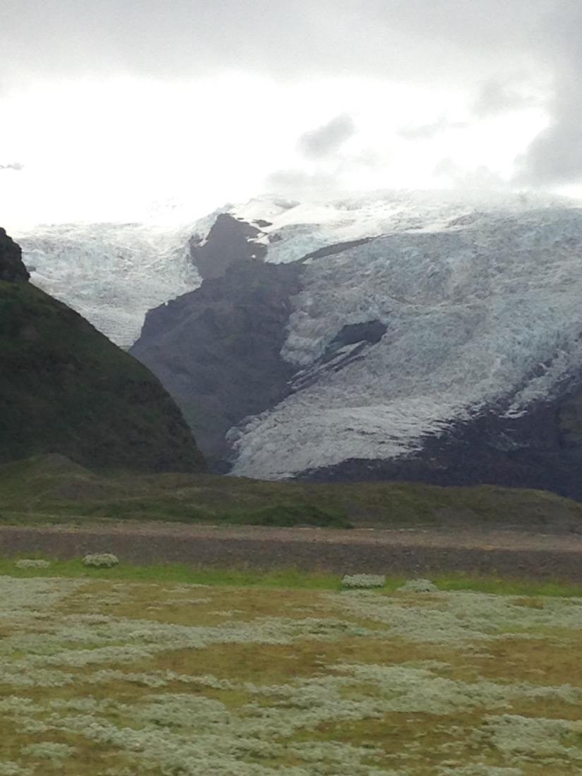
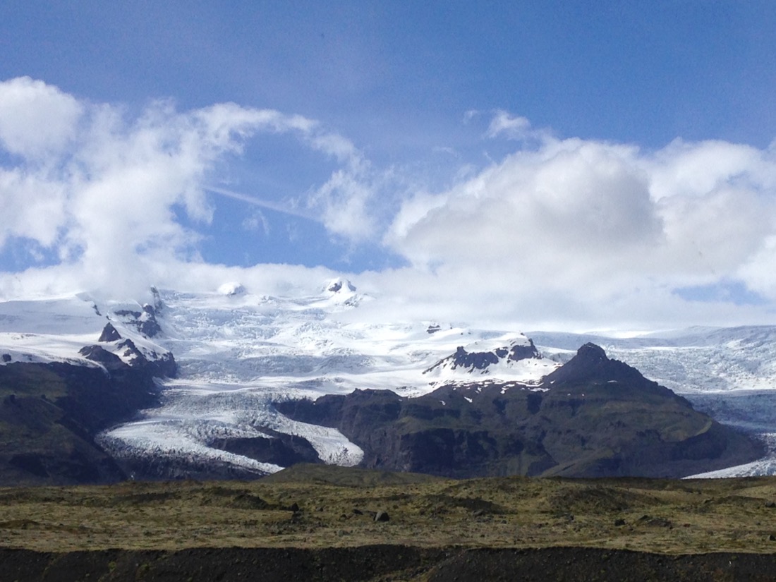


The tallest part of the Glacier at 3,300 feet.
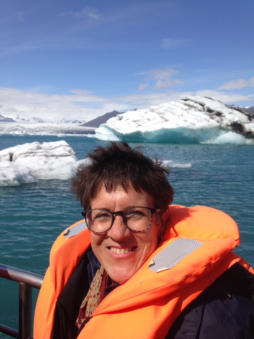
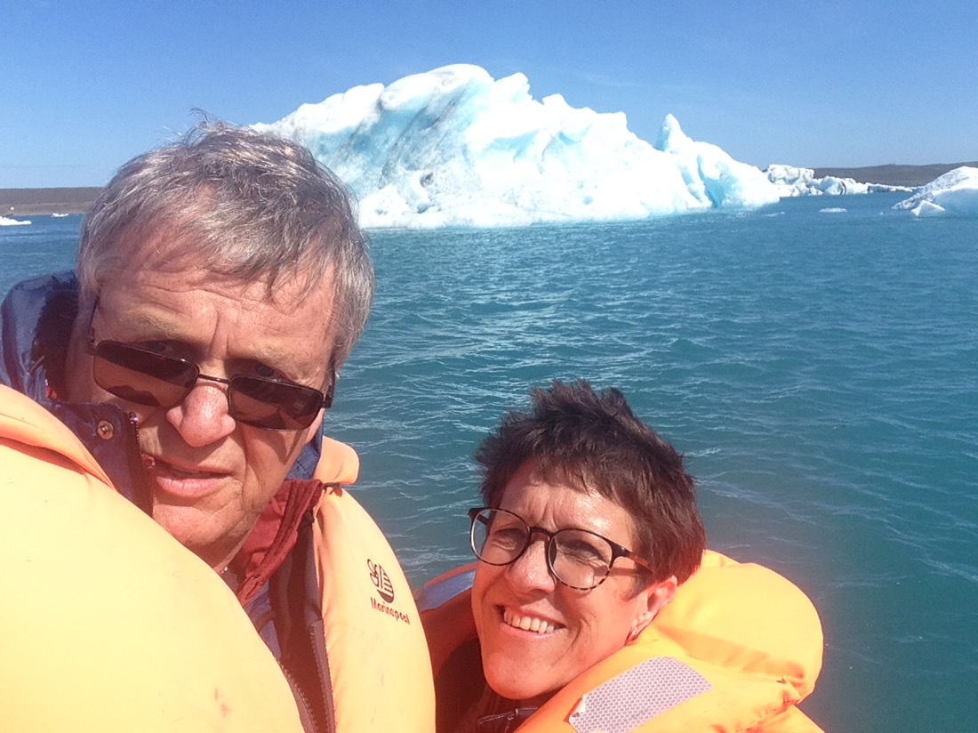
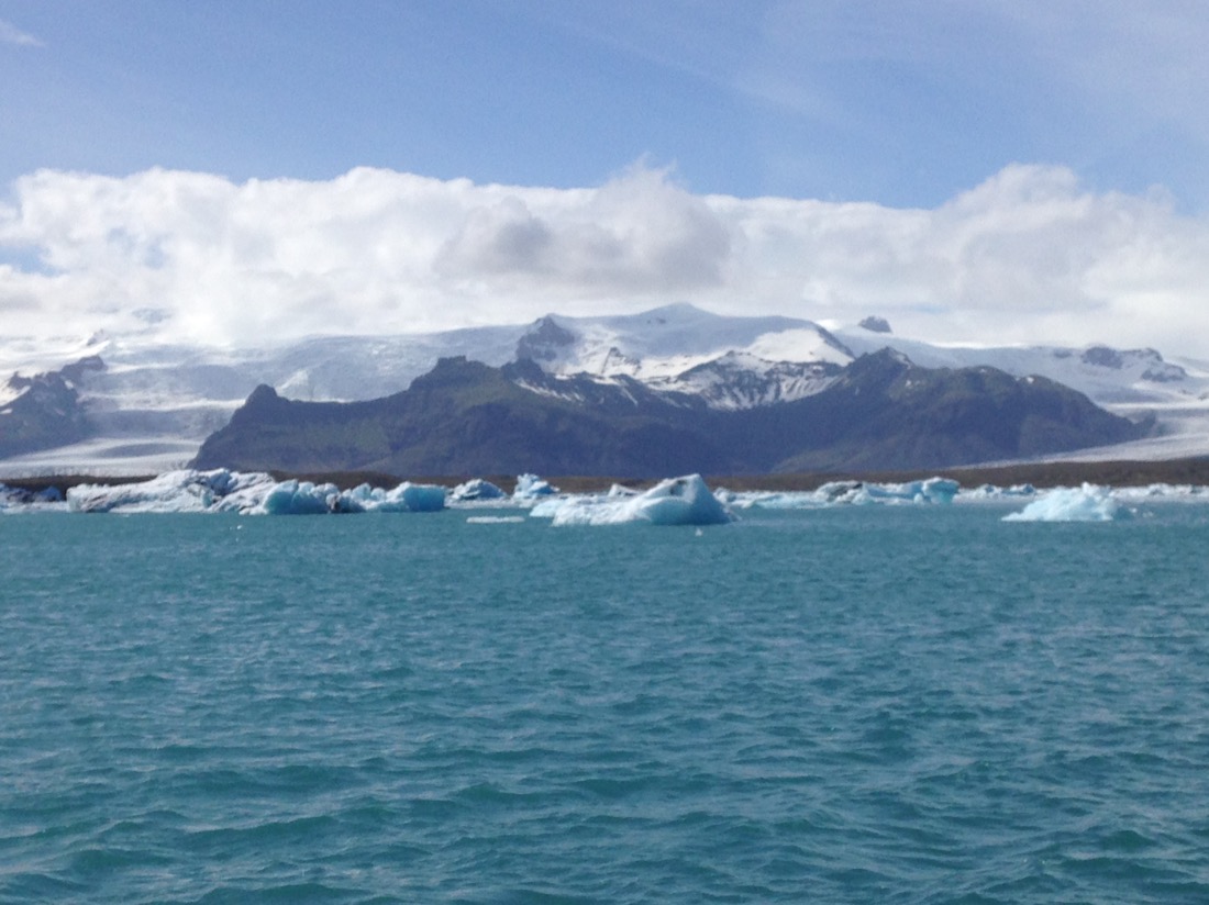
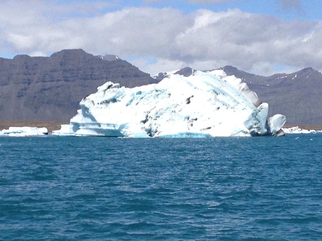
Having never seen a glacier before this is unbelievable. We continued onto the Jokulsarlon Glacial Lagoon which opens into the Atlantic. This was formed due to the glacier melting faster than it can dissipate into the ocean.
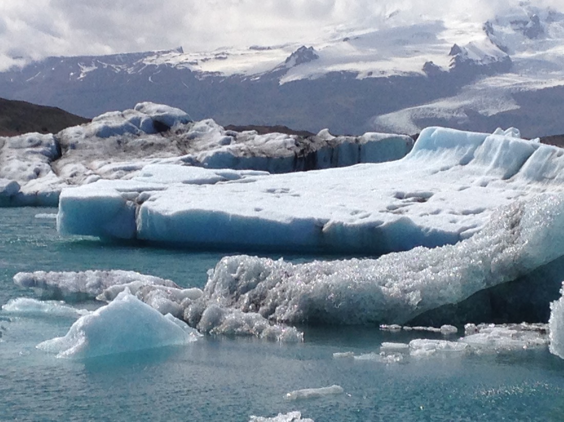
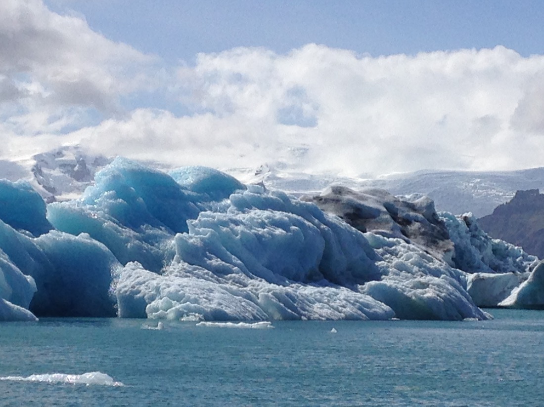
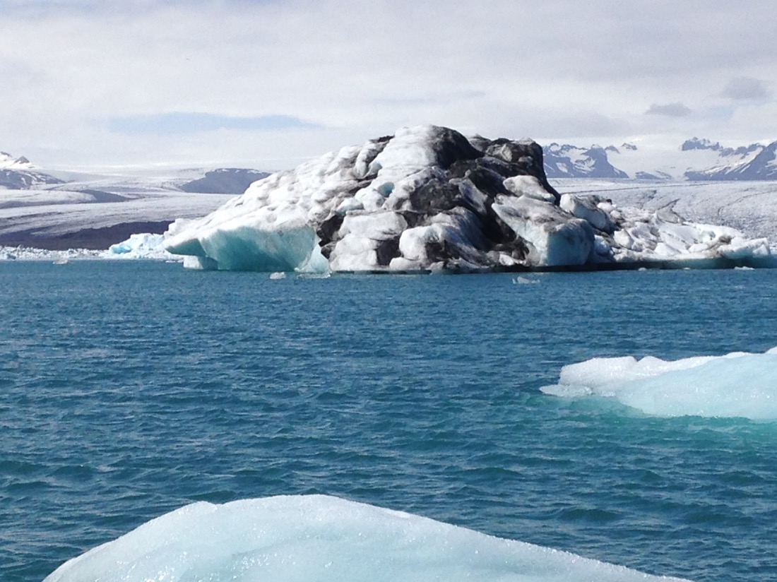
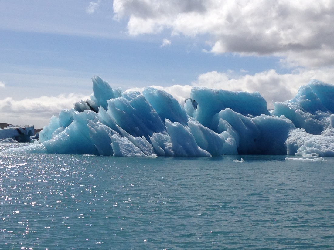
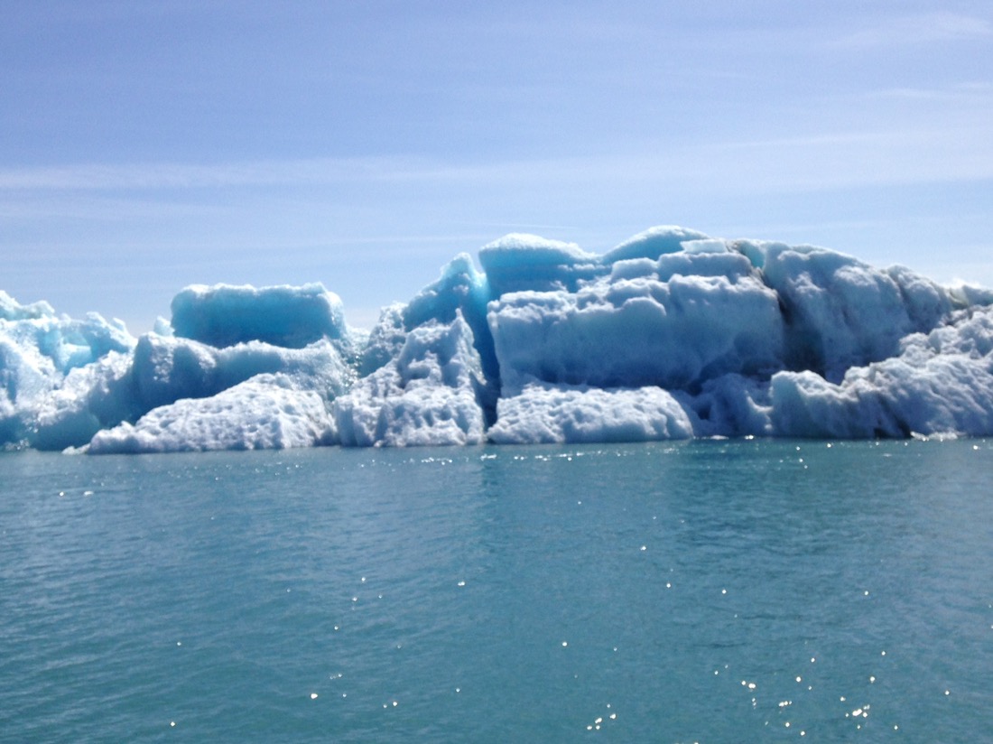
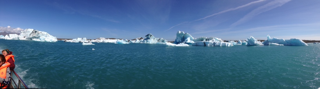
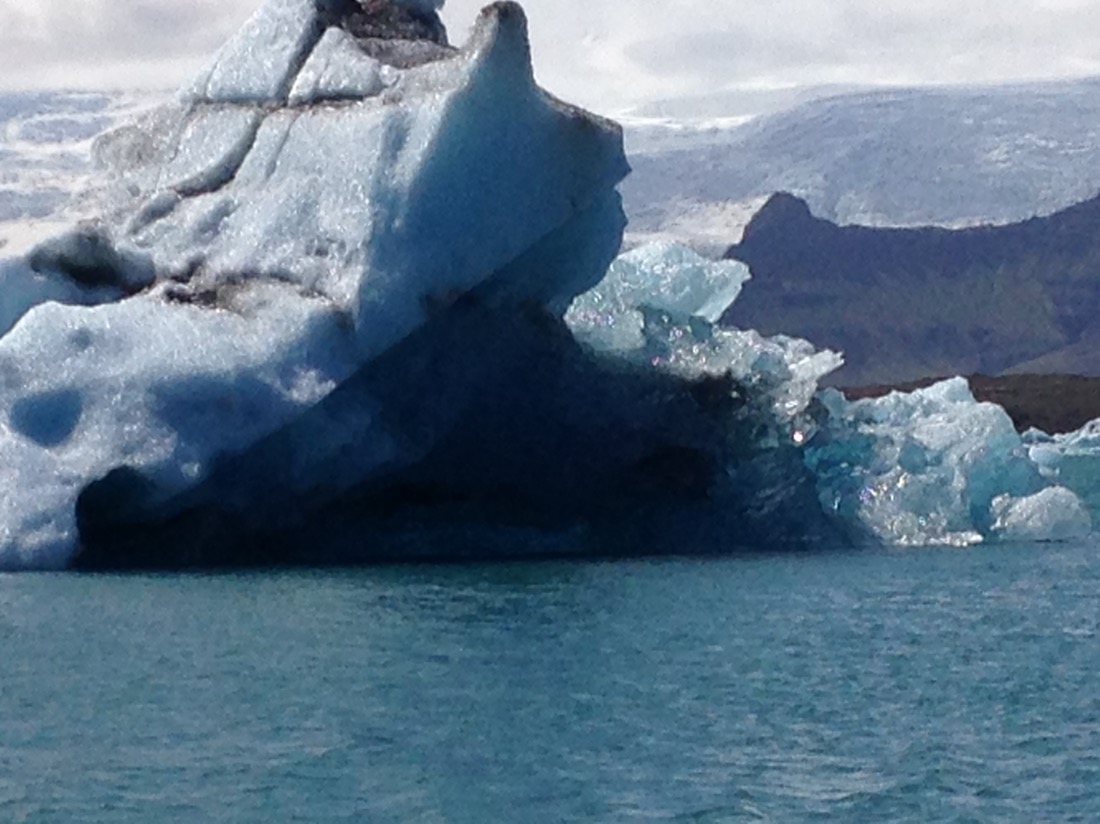
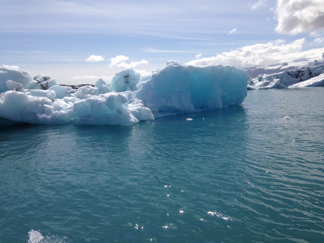
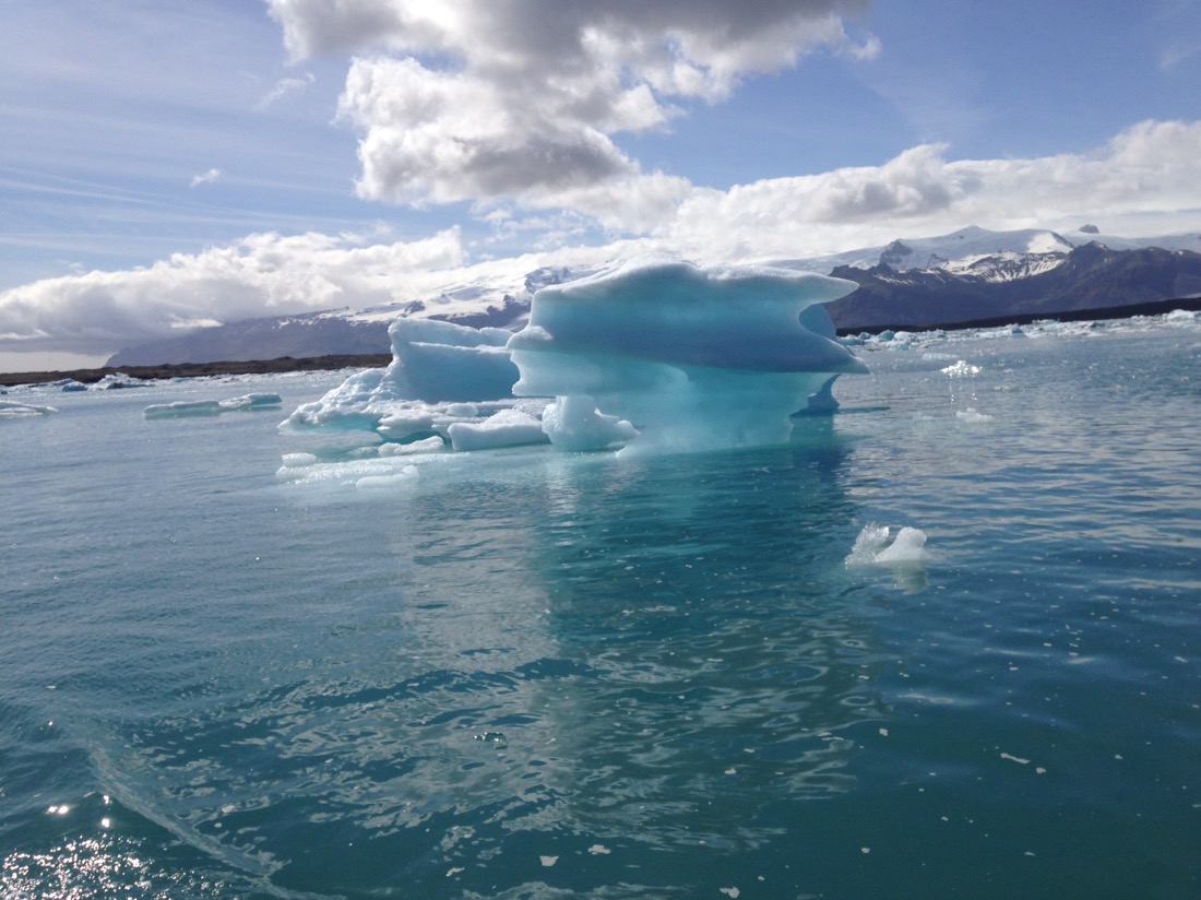
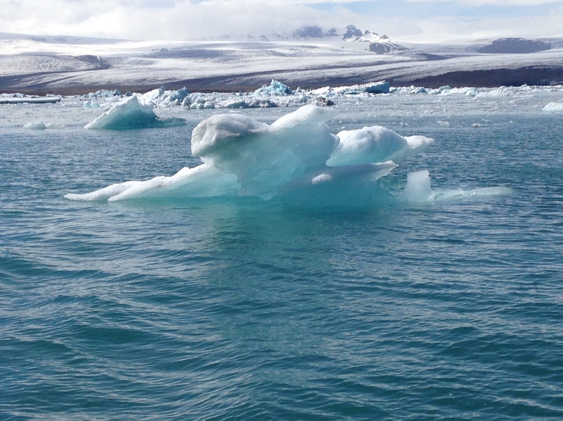
Well if the glacier was unbelievable, what we were presented with was out of this world, and we got to see it up close in an army duck. Sit back and enjoy.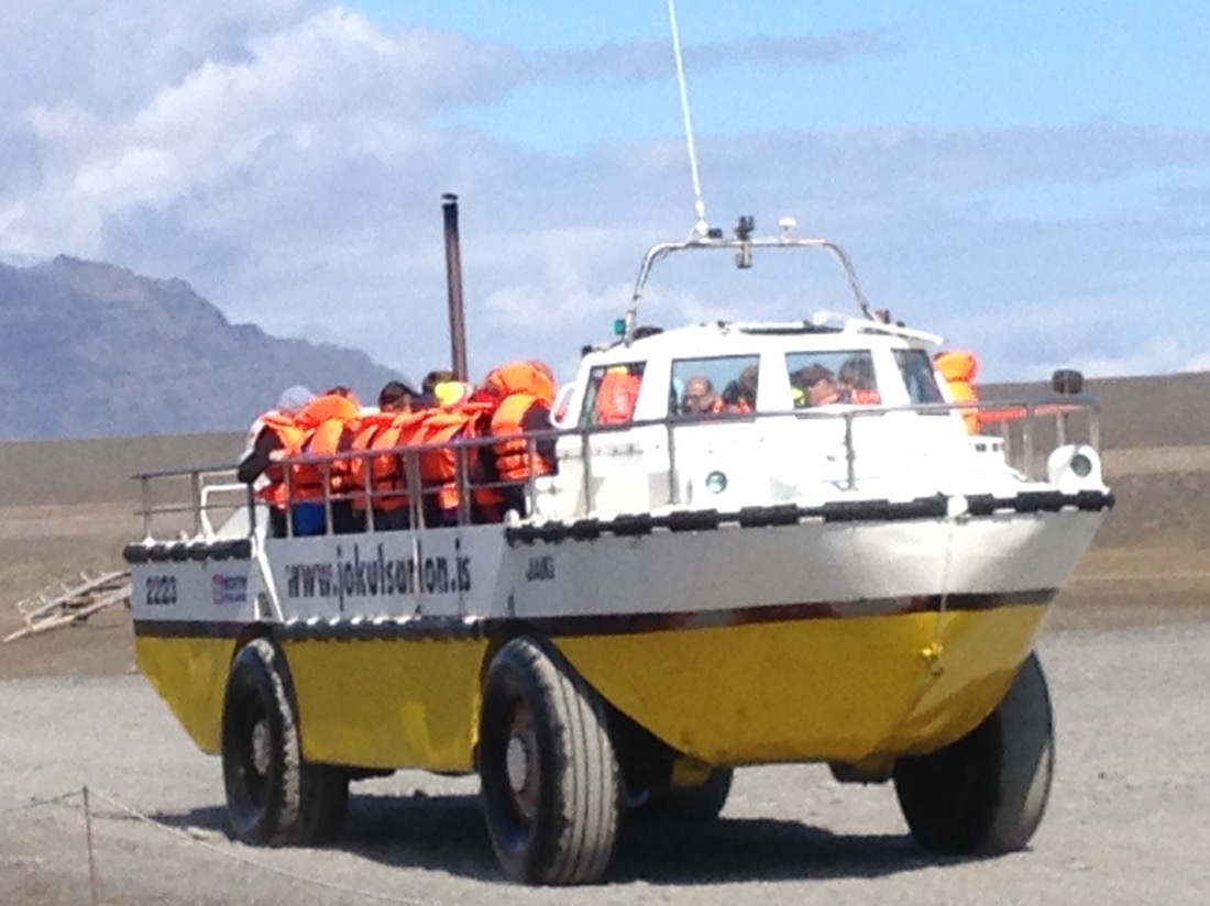
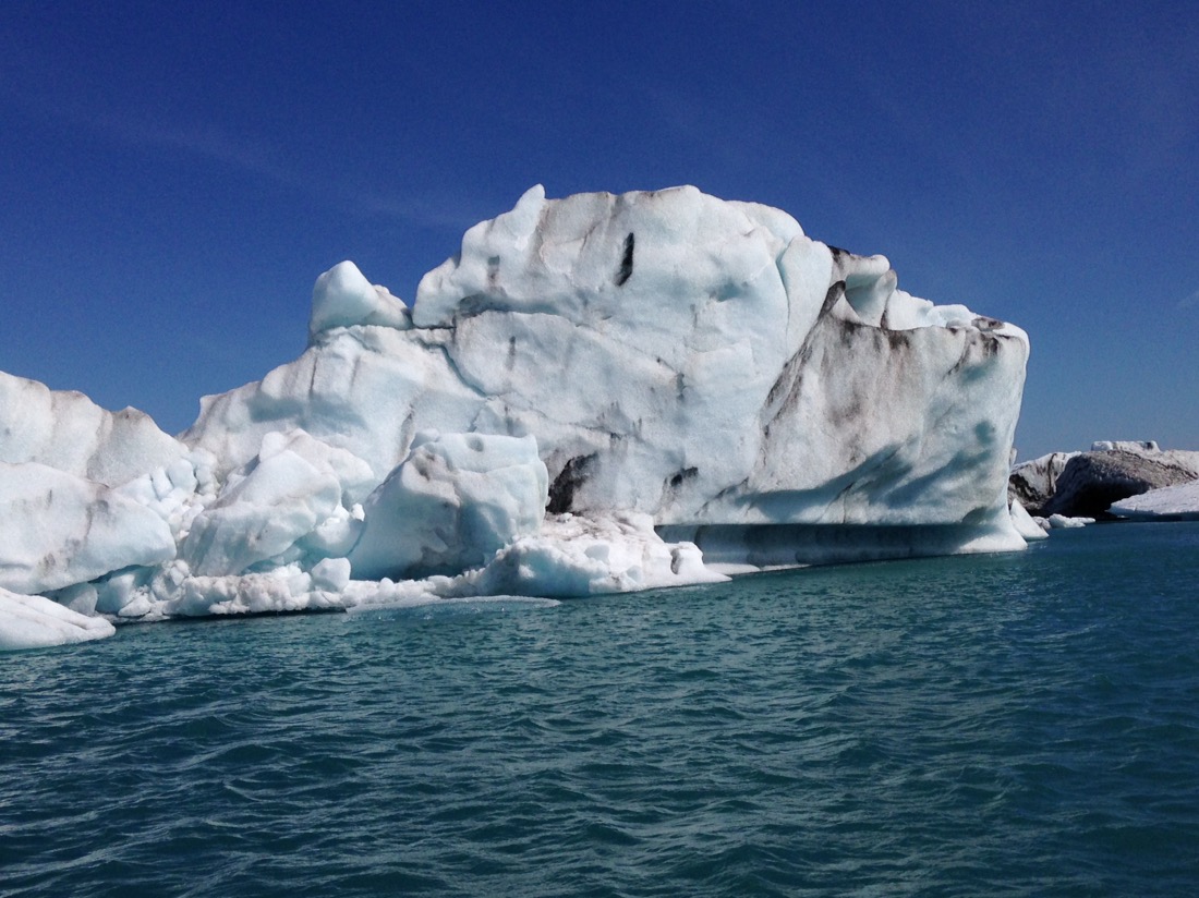
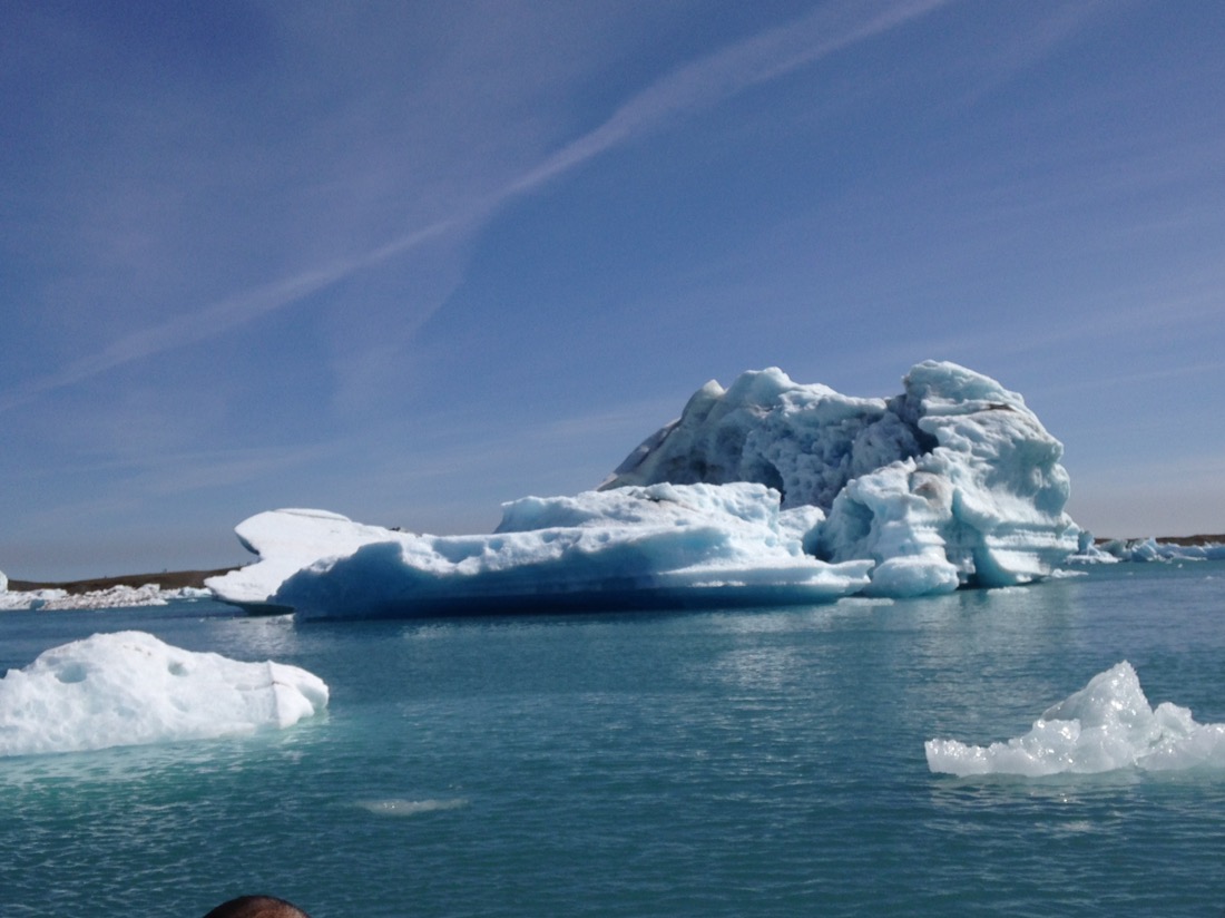
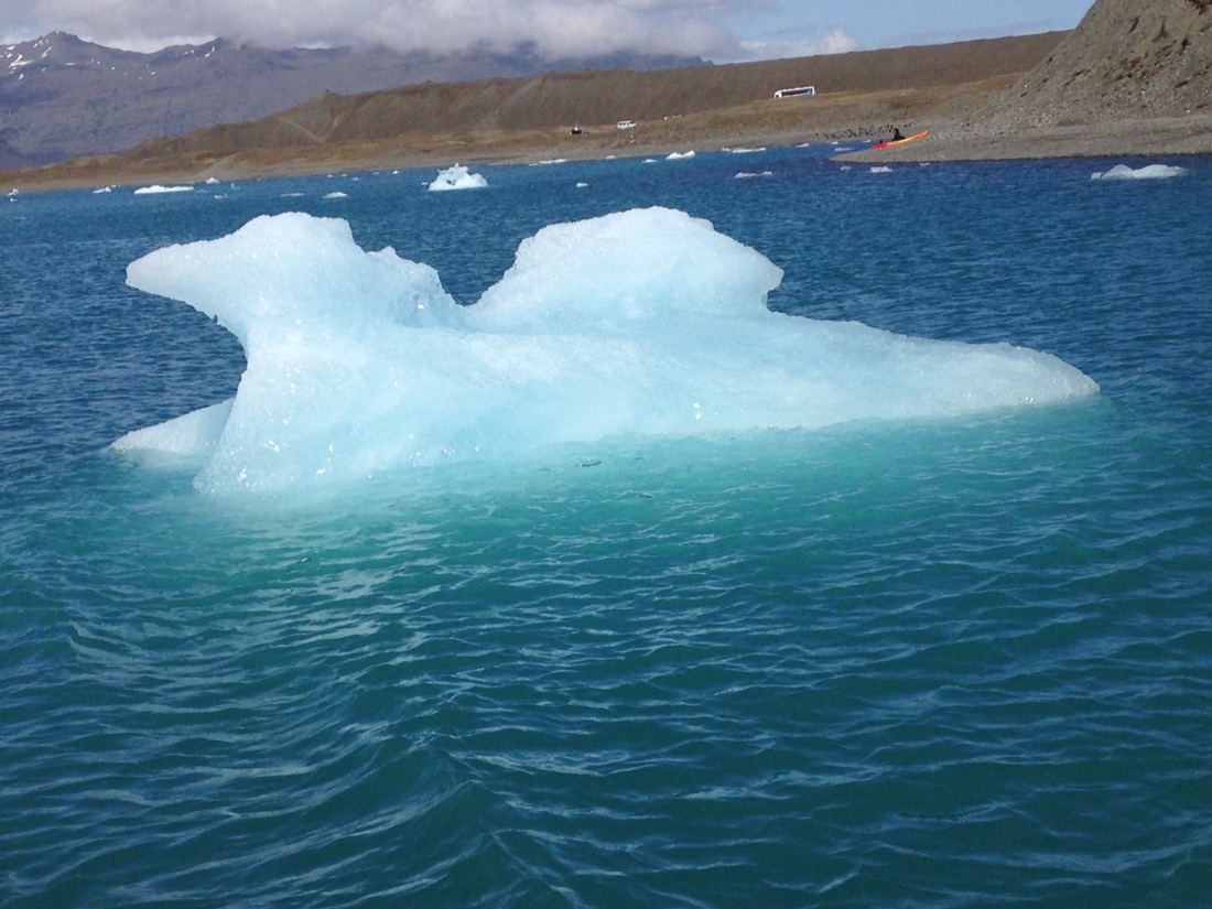
Yep, icebergs.

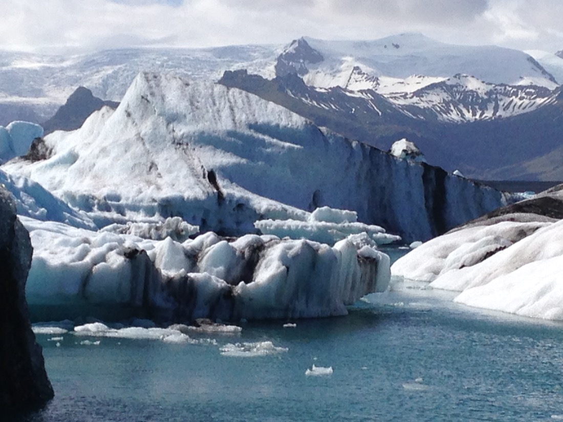

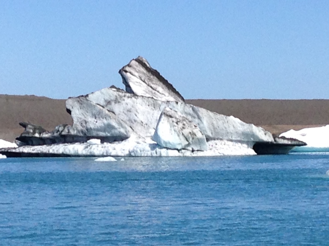
This guy stood about 80 feet out of the water, and that’s only 10% of it’s overall size.
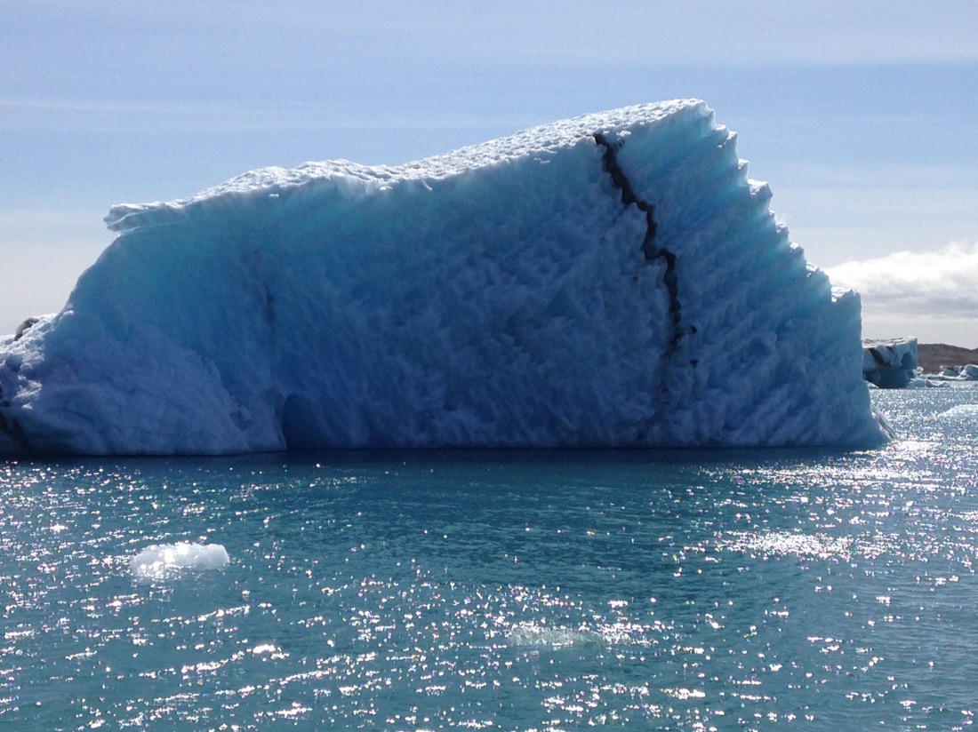
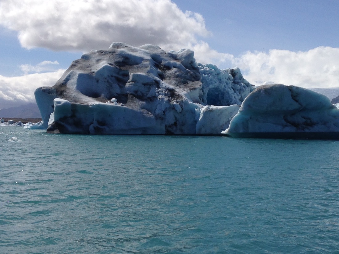

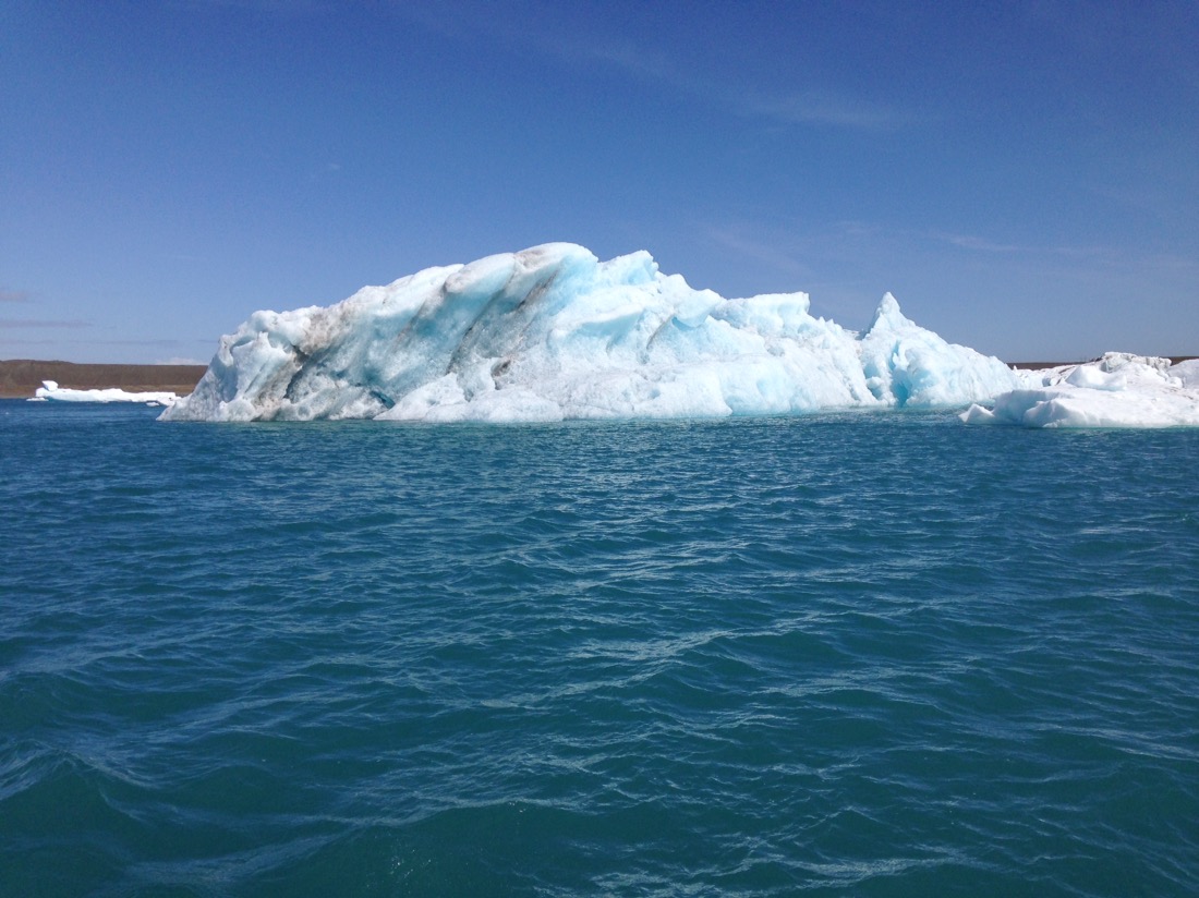


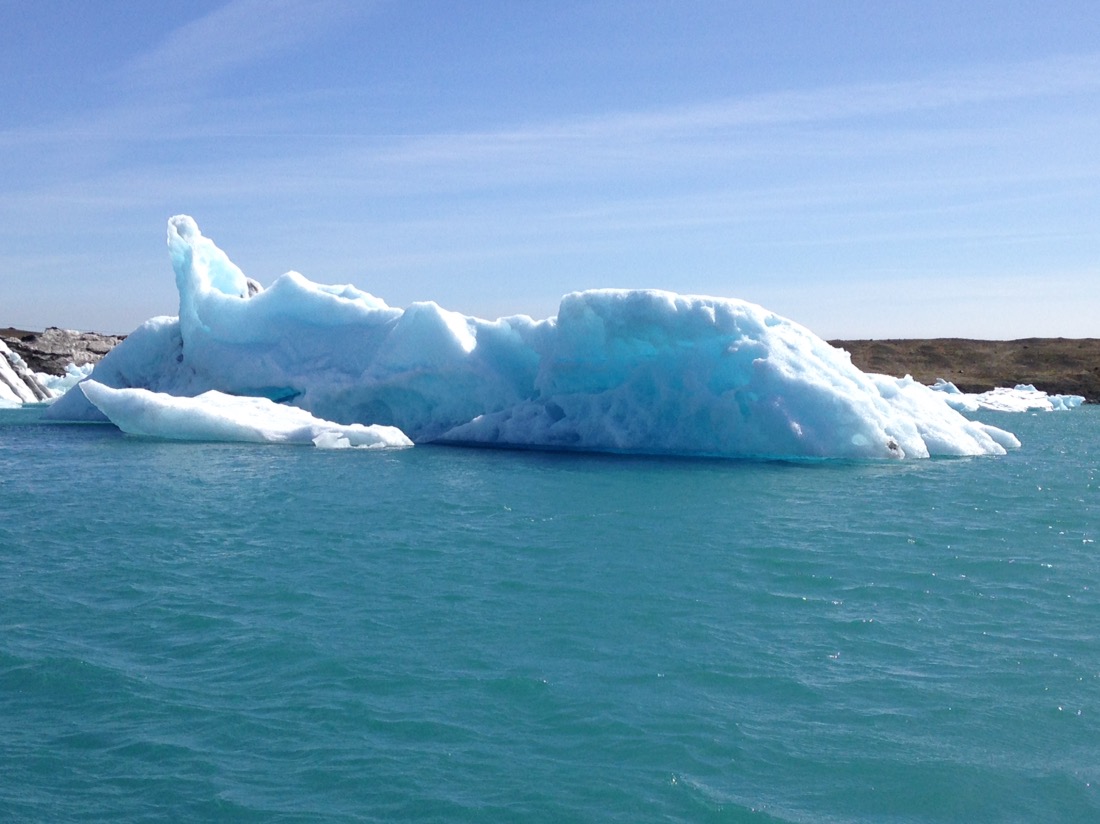
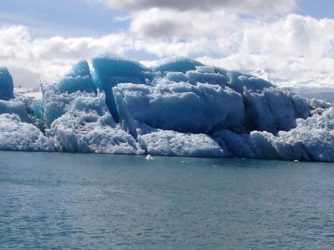
Black lines are volcanic ash, from eruptions over time.
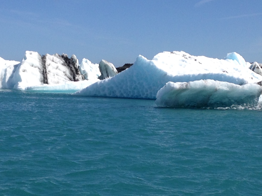

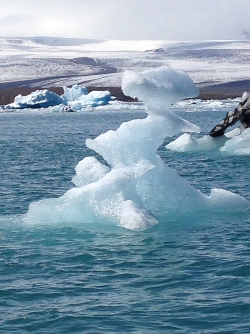
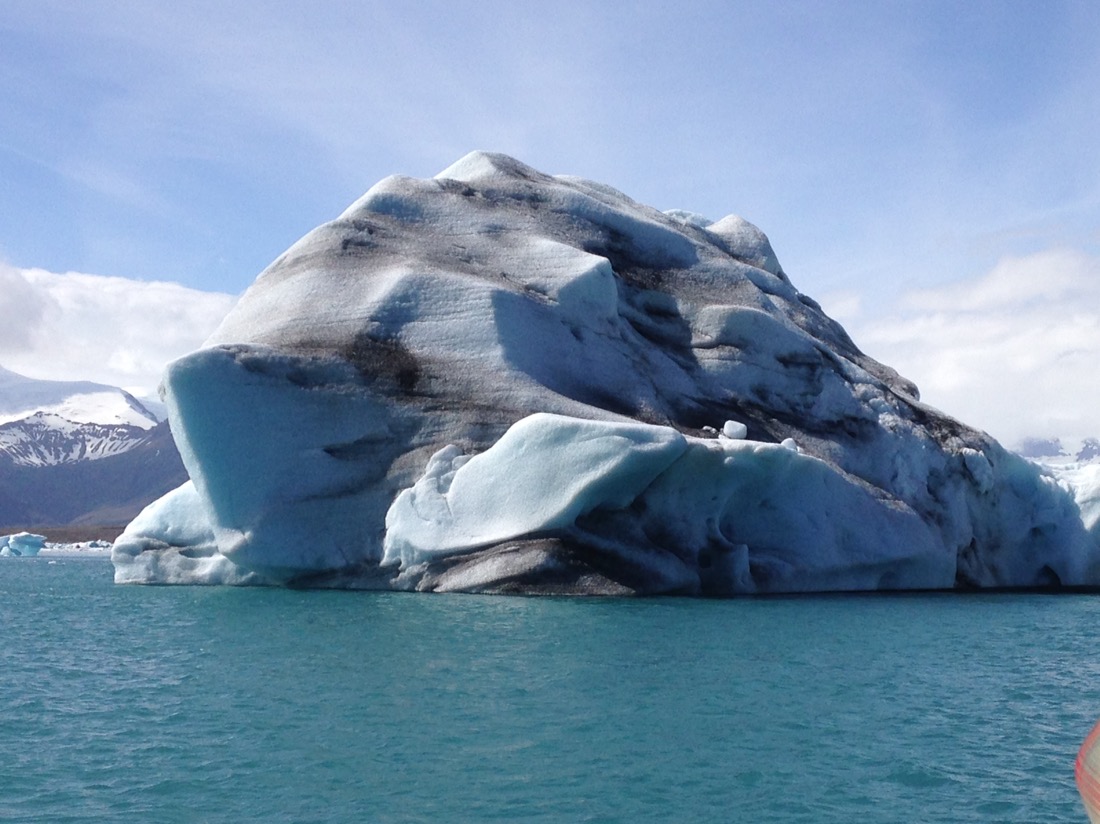
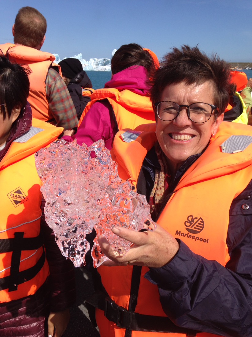
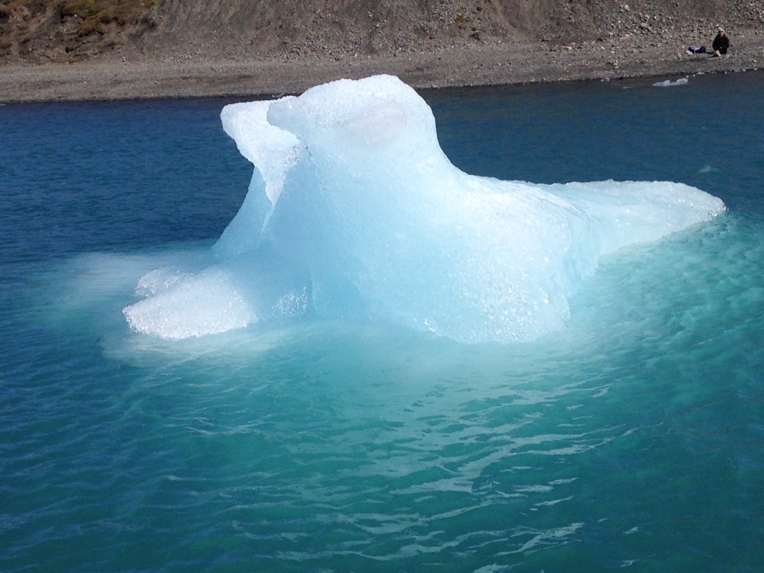
The victim.

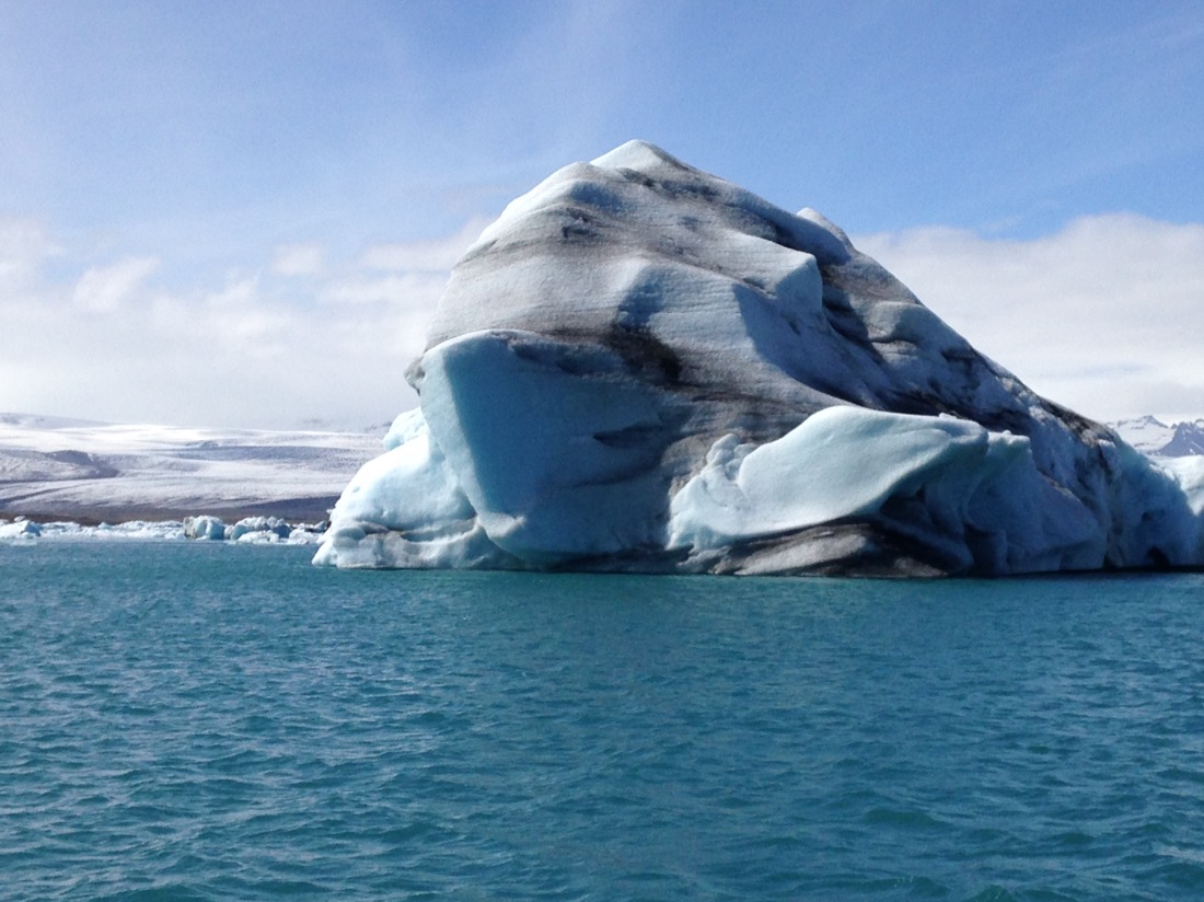
1,000 year old ice block, give or take a couple of years. They know through measurements that it takes around 1,000 years for ice to travel from the very top into the Lagoon, and it tasted wonderful.


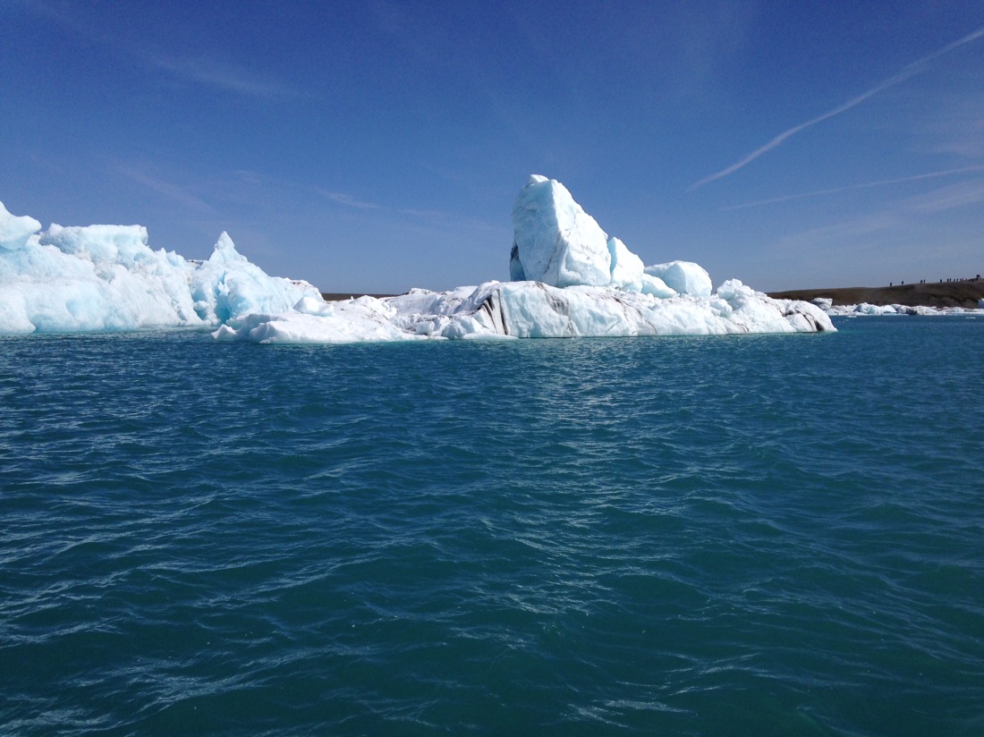
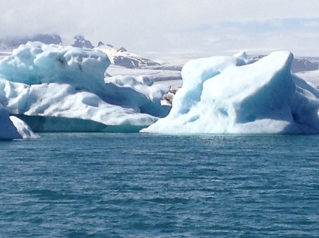
Looks like a seal.

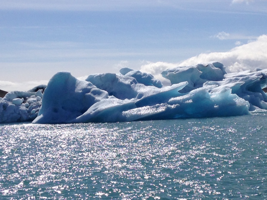
Wow, I never thought I would ever see a real iceberg up close. The Lagoon is tidal and around 1,000 feet deep. When the tide goes out, the icebergs float out to sea.
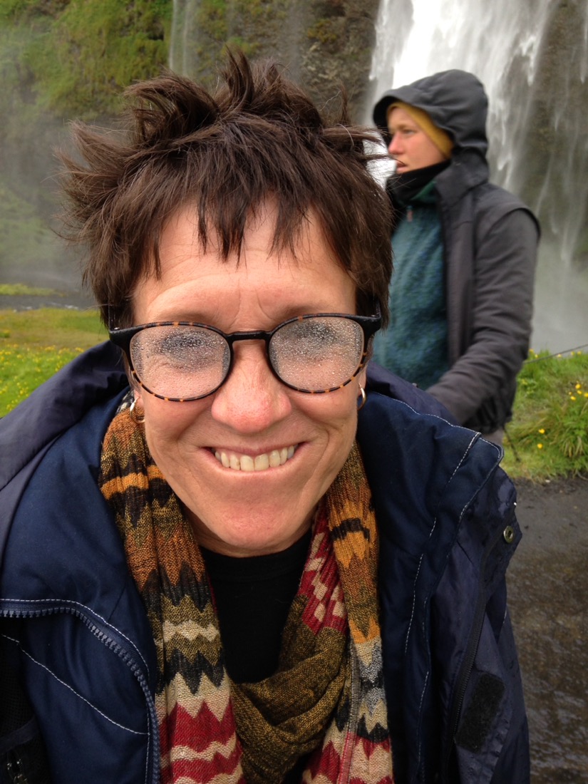
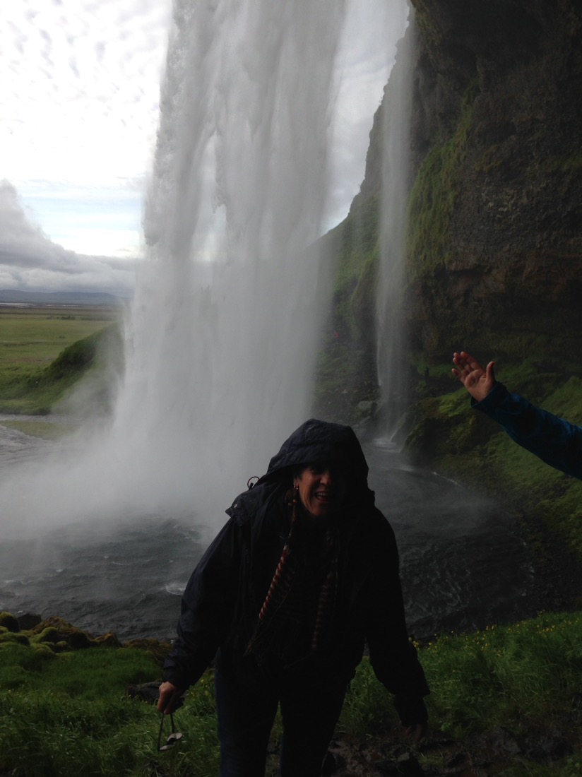
Still spellbound. On the way back to Reykjavik, we stopped of at the Seljandsfoss waterfall which we could walk behind. How good is this place?

Misty eyed.

What an amazing day!

It was amazing just seeing the pictures, being there would have been spellbinding!
What a country! XXOO
LikeLike